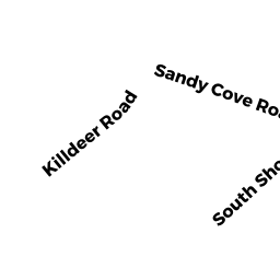
191 KILLDEER RD
Owner Information
KILLDEER ISLAND CLUB, INC
191 KILLDEER RD
WEBSTER, MA 01570


Property Details
191 KILLDEER RD is classified as a Fraternal Organizations (Club/lodge/hall).
The primary structure on this property was built in 1950. There are 1,800ft2 of built area within this property. There is 1,800ft2 of residential/living space within this property.
191 KILLDEER RD is valued at $196,400. The land is valued at $111,600 and the structures are valued at $83,400. There is an additional valuation of $1,400 on this property.
This property is in Zone LR. Confirm with local Zoning Board authorities to ensure there are no overlays or other easements on this property.
The most recent deed for 191 KILLDEER RD is recorded at the local registrar in Book 2538, Page 229. 191 KILLDEER RD was last sold on Monday, March 16, 1931 for $0.
Assessment data from fiscal year 2022.
Flood Data
According to the FEMA National Flood Hazard Layer, this property does not appear to be in a flood zone. It may also be in an area not yet reviewed. Nonetheless, confirm this information prior to taking any action.
To view the flood hazards around this property, create a FEMA "Firmette" Map of the area around 191 KILLDEER RD.
Broadband Internet Providers
| Provider | Type | Bandwidth (mbps) | |
|---|---|---|---|
| T-Mobile | Fixed Wireless | 25 | 3 |
| Verizon New England Inc. | DSL | 5 | 0 |
| Viasat Inc | Satellite | 100 | 3 |
| VSAT Systems, LLC. | Satellite | 2 | 1 |
| HughesNet | Satellite | 25 | 3 |
| GCI Communication Corp. | Satellite | 0 | 0 |
| Charter Communications Inc | Cable | 940 | 35 |
Broadband service provider data from December 2020.
Adjacent Properties
- 195 KILLDEER RD
Single Family Residential owned by ROBERTS, THOMAS C & NANCY TRST - 0 KILLDEER RD
Undevelopable Residential Land owned by KILLDEER ISLAND CLUB, INC - 136 SOUTH SHORE RD
Single Family Residential owned by RUSSO, ROBERT J & LISA A TR - 132 SOUTH SHORE RD
Single Family Residential owned by GRADY, JOHN N III - 130 SOUTH SHORE RD
Single Family Residential owned by SULLIVAN, MARTHA - 187 KILLDEER RD
Developable Residential Land owned by ADOMAT, MARTIN